 vesseltracker.com
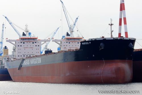
 MARIGO P
Current Status
Where is the vessel?
MARIGO P is currently in 268 nm N of Mutineer, based on AIS data received about 1h ago.
Latest AIS update:
Current position: 14.80968° S, 116.37991° E (268 nm N of Mutineer)
Average speed (last 7 days): Loading…
Average speed (last 30 days): Loading…
Vessel profile: MARIGO P is a Cargo with dimensions m x m.
This page combines live AIS, route history, probable destination signals, nearby traffic, and port activity for practical vessel monitoring.
The current position of vessel MARIGO P is -14.80968 lat / 116.37991 lng. Updated: 2026-04-19 08:22:30 UTCNearest reference points:
- 244 nm N of Mutineer
- 185 nm NE of Mutineer
Currently sailing under the flag of Liberia ![]()
Details:
Live Vessel MARIGO P Analytics (details, animations, etc.)
Recent AIS points (UTC):
2026-04-19 02:10:08 UTC · -15.99500, 116.51167 · SOG 11 kn · COG -1°2026-04-19 04:19:25 UTC · -15.58379, 116.47012 · SOG 11.3 kn · COG 355°
2026-04-19 05:38:15 UTC · -15.33277, 116.44194 · SOG 11.6 kn · COG 352°
2026-04-19 08:22:30 UTC · -14.80968, 116.37991 · SOG 11.6 kn · COG 358°