 vesseltracker.com
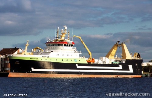
Mark
Current StatusWhere is the vessel?
Mark is currently in 88 nm SW of Maniitsoq, based on AIS data received less than 1h ago.
Latest AIS update:
Current position: 64.49170° N, 55.62670° W (88 nm SW of Maniitsoq)
Average speed (last 7 days): Loading…
Average speed (last 30 days): Loading…
Vessel profile: Mark is a Fishing Vessel with dimensions 16m x 85m.
This page combines live AIS, route history, probable destination signals, nearby traffic, and port activity for practical vessel monitoring.
The current position of vessel Mark is 64.4917 lat / -55.6267 lng. Updated: 2026-03-30 15:55:42 UTCDetails:
Live Vessel Mark Analytics (details, animations, etc.)
Recent AIS points (UTC):
2026-03-30 09:44:46 UTC · 64.33430, -55.22400 · SOG 2.7 kn · COG 293°2026-03-30 11:22:42 UTC · 64.36670, -55.37830 · SOG 2 kn · COG -1°
2026-03-30 14:01:43 UTC · 64.44830, -55.56170 · SOG 2 kn · COG -1°
2026-03-30 15:55:42 UTC · 64.49170, -55.62670 · SOG 2 kn · COG -1°