 vesseltracker.com
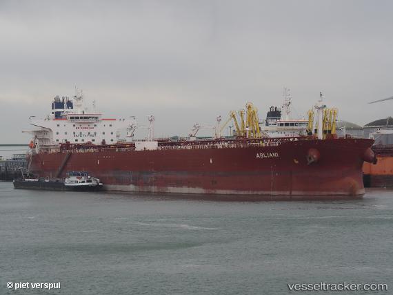
 Abliani
Current Status
Where is the vessel?
Abliani is currently in 23 nm N of Psará, based on AIS data received about 1h ago.
Latest AIS update:
Current position: 38.90212° N, 25.45056° E (23 nm N of Psará)
Average speed (last 7 days): Loading…
Average speed (last 30 days): Loading…
Vessel profile: Abliani is a Crude Oil Tanker with dimensions 250m x 44m.
This page combines live AIS, route history, probable destination signals, nearby traffic, and port activity for practical vessel monitoring.
The current position of vessel Abliani is 38.90212 lat / 25.45056 lng. Updated: 2026-04-12 14:24:36 UTCNearest reference points:
- 28 nm NW of Psará
- 29 nm SW of Sigri Lesvou
- 16 nm NW of Sigri Lesvou
Currently sailing under the flag of Malta ![]()
Details:
Live Vessel Abliani Analytics (details, animations, etc.)
Recent AIS points (UTC):
2026-04-12 07:58:07 UTC · 40.01473, 26.02093 · SOG 12.2 kn · COG 258°2026-04-12 10:12:46 UTC · 39.68551, 25.69693 · SOG 11.4 kn · COG 194°
2026-04-12 12:02:46 UTC · 39.34139, 25.59053 · SOG 11.5 kn · COG 192°
2026-04-12 14:24:36 UTC · 38.90212, 25.45056 · SOG 11.4 kn · COG 191°