 vesseltracker.com
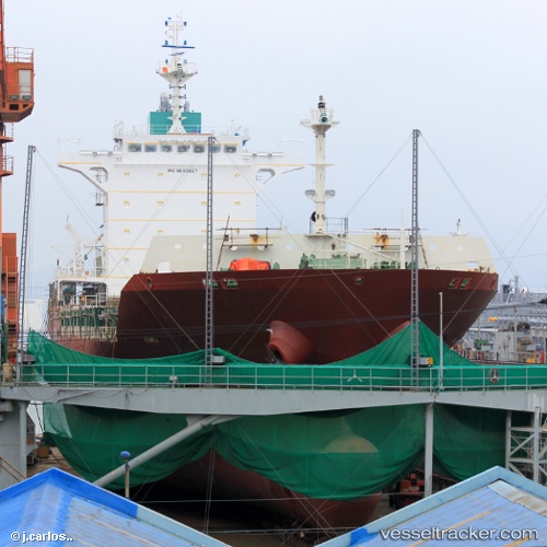
 HEUNG A JANICE
Current Status
Where is the vessel?
HEUNG A JANICE is currently in Near Gageohyangri, based on AIS data received about 2h ago.
Latest AIS update:
Current position: 34.21576° N, 125.04940° E (Near Gageohyangri)
Average speed (last 7 days): Loading…
Average speed (last 30 days): Loading…
Vessel profile: HEUNG A JANICE is a Cargo with dimensions m x m.
This page combines live AIS, route history, probable destination signals, nearby traffic, and port activity for practical vessel monitoring.
The current position of vessel HEUNG A JANICE is 34.21576 lat / 125.04940 lng. Updated: 2026-03-28 09:49:28 UTCNearest reference points:
- 17 nm W of Chuja
- 47 nm W of Hallim
- 61 nm S of Gageohyangri
Currently sailing under the flag of South Korea ![]()
Details:
Live Vessel HEUNG A JANICE Analytics (details, animations, etc.)
Recent AIS points (UTC):
2026-03-28 04:01:30 UTC · 34.52985, 123.68178 · SOG 12 kn · COG 115°2026-03-28 05:26:31 UTC · 34.43899, 124.01671 · SOG 12 kn · COG 105°
2026-03-28 08:20:40 UTC · 34.28831, 124.70966 · SOG 12.1 kn · COG 103°
2026-03-28 09:49:28 UTC · 34.21576, 125.04940 · SOG 11.8 kn · COG -1°