 vesseltracker.com
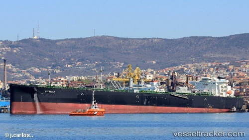
 Estrella
Current Status
Where is the vessel?
Estrella is currently in Near North Queensferry, based on AIS data received less than 1h ago.
Latest AIS update:
Current position: 56.00618° N, 3.36184° W (Near North Queensferry)
Average speed (last 7 days): Loading…
Average speed (last 30 days): Loading…
Vessel profile: Estrella is a Crude Oil Tanker with dimensions 229m x 42m.
This page combines live AIS, route history, probable destination signals, nearby traffic, and port activity for practical vessel monitoring.
The current position of vessel Estrella is 56.00618 lat / -3.36184 lng. Updated: 2026-04-16 22:05:45 UTCNearest reference points:
- Near Leith
- Near BROUGHTY FERRY
- Near North Berwick
Currently sailing under the flag of Bahamas ![]()
Details:
Live Vessel Estrella Analytics (details, animations, etc.)
Recent AIS points (UTC):
2026-04-16 13:28:38 UTC · 56.06099, -2.91871 · SOG 0.1 kn · COG 254°2026-04-16 15:41:12 UTC · 56.06498, -2.97352 · SOG 2.4 kn · COG 260°
2026-04-16 19:29:46 UTC · 56.00619, -3.36187 · SOG 0 kn · COG 245°
2026-04-16 22:05:45 UTC · 56.00618, -3.36184 · SOG 0 kn · COG -1°