 vesseltracker.com
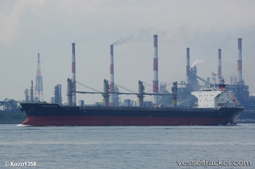
Eastern Hope
Current StatusWhere is the vessel?
Eastern Hope is currently in 264 nm NE of Gigmoto, Catanduanes, based on AIS data received about 12h ago.
Latest AIS update:
Current position: 15.48344° N, 128.57439° E (264 nm NE of Gigmoto, Catanduanes)
Average speed (last 7 days): Loading…
Average speed (last 30 days): Loading…
Vessel profile: Eastern Hope is a Bulk Carrier with dimensions 27m x 169m.
This page combines live AIS, route history, probable destination signals, nearby traffic, and port activity for practical vessel monitoring.
The current position of vessel Eastern Hope is 15.48344 lat / 128.57439 lng. Updated: 2026-03-25 22:46:40 UTCNearest reference points:
- 281 nm E of Gigmoto, Catanduanes
- Open sea, approx. 400 nm off the nearest listed port
- Open sea, approx. 401 nm off the nearest listed port
Details:
Live Vessel Eastern Hope Analytics (details, animations, etc.)
Recent AIS points (UTC):
2026-03-25 22:13:41 UTC · 15.39234, 128.52538 · SOG 11.2 kn · COG 31°2026-03-25 22:46:40 UTC · 15.48344, 128.57439 · SOG 11.2 kn · COG 28°
2026-03-25 22:46:40 UTC · 15.48344, 128.57439 · SOG 11.2 kn · COG 28°
2026-03-25 22:46:40 UTC · 15.48344, 128.57439 · SOG 11.2 kn · COG 28°