 vesseltracker.com
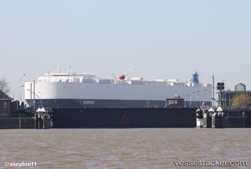
 Goodwood
Current Status
Where is the vessel?
Goodwood is currently in 20 nm E of Cabedelo Pt, based on AIS data received about 1h ago.
Latest AIS update:
Current position: 6.86734° S, 34.50472° W (20 nm E of Cabedelo Pt)
Average speed (last 7 days): Loading…
Average speed (last 30 days): Loading…
Vessel profile: Goodwood is a Vehicles Carrier with dimensions 199m x 32m.
This page combines live AIS, route history, probable destination signals, nearby traffic, and port activity for practical vessel monitoring.
The current position of vessel Goodwood is -6.86734 lat / -34.50472 lng. Updated: 2026-04-20 05:30:10 UTCNearest reference points:
- 20 nm E of Natal
- Near Boa Viagem
- Near Suape
Currently sailing under the flag of Liberia ![]()
Details:
Live Vessel Goodwood Analytics (details, animations, etc.)
Recent AIS points (UTC):
2026-04-20 01:30:32 UTC · -7.96520, -34.60406 · SOG 15.9 kn · COG 18°2026-04-20 03:35:52 UTC · -7.39997, -34.49403 · SOG 16.7 kn · COG 0°
2026-04-20 04:18:01 UTC · -7.20259, -34.49690 · SOG 16.6 kn · COG 359°
2026-04-20 05:30:10 UTC · -6.86734, -34.50472 · SOG 16.8 kn · COG 3°