 vesseltracker.com
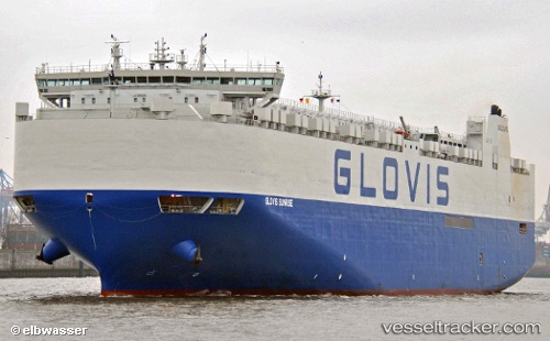
 GLOVIS SUNRISE
Current Status
Where is the vessel?
GLOVIS SUNRISE is currently in 25 nm S of Gan, based on AIS data received less than 1h ago.
Latest AIS update:
Current position: 1.09813° S, 73.02953° E (25 nm S of Gan)
Average speed (last 7 days): Loading…
Average speed (last 30 days): Loading…
Vessel profile: GLOVIS SUNRISE is a Cargo with dimensions m x m.
This page combines live AIS, route history, probable destination signals, nearby traffic, and port activity for practical vessel monitoring.
The current position of vessel GLOVIS SUNRISE is -1.09813 lat / 73.02953 lng. Updated: 2026-04-12 13:30:11 UTCNearest reference points:
- 222 nm SW of Gan
Currently sailing under the flag of South Korea ![]()
Details:
Live Vessel GLOVIS SUNRISE Analytics (details, animations, etc.)
Recent AIS points (UTC):
2026-04-12 07:37:25 UTC · -0.18615, 74.46452 · SOG 17.2 kn · COG 228°2026-04-12 09:51:45 UTC · -0.62483, 73.97994 · SOG 17.5 kn · COG 240°
2026-04-12 11:48:45 UTC · -0.91827, 73.48802 · SOG 17.7 kn · COG 240°
2026-04-12 13:30:11 UTC · -1.09813, 73.02953 · SOG 17.5 kn · COG 252°