 vesseltracker.com
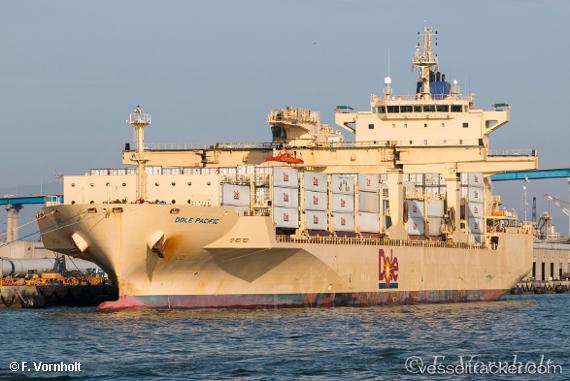
 Dole Pacific
Current Status
Where is the vessel?
Dole Pacific is currently in 26 nm SW of Morro Redondo, based on AIS data received less than 1h ago.
Latest AIS update:
Current position: 27.78723° N, 115.56002° W (26 nm SW of Morro Redondo)
Average speed (last 7 days): Loading…
Average speed (last 30 days): Loading…
Vessel profile: Dole Pacific is a Container Ship with dimensions 190m x 30m.
This page combines live AIS, route history, probable destination signals, nearby traffic, and port activity for practical vessel monitoring.
The current position of vessel Dole Pacific is 27.78723 lat / -115.56002 lng. Updated: 2026-04-19 02:30:23 UTCNearest reference points:
- 38 nm W of Loreto
Currently sailing under the flag of Bahamas ![]()
Details:
Live Vessel Dole Pacific Analytics (details, animations, etc.)
Recent AIS points (UTC):
2026-04-18 19:23:37 UTC · 26.37179, -114.36083 · SOG 11.4 kn · COG 322°2026-04-18 22:12:20 UTC · 26.86753, -114.78508 · SOG 16.2 kn · COG 323°
2026-04-19 00:10:05 UTC · 27.29669, -115.14474 · SOG 16.2 kn · COG 321°
2026-04-19 02:30:23 UTC · 27.78723, -115.56002 · SOG 16 kn · COG 321°