 vesseltracker.com
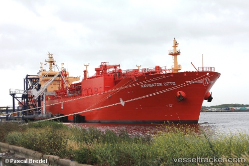
Navigator Ceto
Current StatusWhere is the vessel?
Navigator Ceto is currently in 70 nm S of Dokdo, based on AIS data received less than 1h ago.
Latest AIS update:
Current position: 36.11687° N, 131.40295° E (70 nm S of Dokdo)
Average speed (last 7 days): Loading…
Average speed (last 30 days): Loading…
Vessel profile: Navigator Ceto is a Lpg Tanker with dimensions 25m x 160m.
This page combines live AIS, route history, probable destination signals, nearby traffic, and port activity for practical vessel monitoring.
The current position of vessel Navigator Ceto is 36.11687 lat / 131.40295 lng. Updated: 2026-04-12 06:50:24 UTCNearest reference points:
- 67 nm W of NAKANOSHIMA
- 63 nm NW of Unnan
- 39 nm N of Iwami
Details:
Live Vessel Navigator Ceto Analytics (details, animations, etc.)
Recent AIS points (UTC):
2026-04-09 22:42:02 UTC · 38.55275, 133.90971 · SOG 15 kn · COG 223°2026-04-09 22:42:02 UTC · 38.55275, 133.90971 · SOG 15 kn · COG 223°
2026-04-09 22:42:02 UTC · 38.55275, 133.90971 · SOG 15 kn · COG 223°
2026-04-12 06:50:24 UTC · 36.11687, 131.40295 · SOG 16.2 kn · COG 41°