 vesseltracker.com
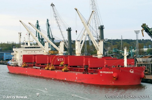
 EMMANUEL
Current Status
Where is the vessel?
EMMANUEL is currently in Near NH Prosperity, based on AIS data received less than 1h ago.
Latest AIS update:
Current position: 13.20268° N, 100.85103° E (Near NH Prosperity)
Average speed (last 7 days): Loading…
Average speed (last 30 days): Loading…
Vessel profile: EMMANUEL is a Cargo with dimensions m x m.
This page combines live AIS, route history, probable destination signals, nearby traffic, and port activity for practical vessel monitoring.
The current position of vessel EMMANUEL is 13.20268 lat / 100.85103 lng. Updated: 2026-04-03 11:45:00 UTCNearest reference points:
- Near SIRACHA
- Near Sriracha
- Near KO SICHANG
Currently sailing under the flag of Marshall Islands ![]()
Details:
Live Vessel EMMANUEL Analytics (details, animations, etc.)
Recent AIS points (UTC):
2026-04-03 05:29:58 UTC · 13.20268, 100.85112 · SOG 0 kn · COG 198°2026-04-03 07:50:57 UTC · 13.20274, 100.85089 · SOG 0 kn · COG 192°
2026-04-03 09:41:57 UTC · 13.20274, 100.85092 · SOG 0 kn · COG 193°
2026-04-03 11:45:00 UTC · 13.20268, 100.85103 · SOG 0 kn · COG 195°