 vesseltracker.com
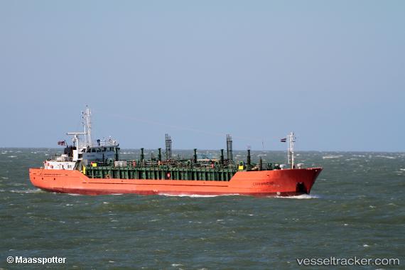
 Copernicus
Current Status
Where is the vessel?
Copernicus is currently in Open sea (no nearby ports in database), based on AIS data received about 1h ago.
Latest AIS update:
Current position: 22.69500° S, 8.05333° W (Open sea (no nearby ports in database))
Average speed (last 7 days): Loading…
Average speed (last 30 days): Loading…
Vessel profile: Copernicus is a Lpg Tanker with dimensions 226m x 36m.
This page combines live AIS, route history, probable destination signals, nearby traffic, and port activity for practical vessel monitoring.
The current position of vessel Copernicus is -22.69500 lat / -8.05333 lng. Updated: 2026-03-28 18:25:19 UTCNearest reference points:
- Open sea (no nearby ports in database)
- Open sea, approx. 422 nm off the nearest listed port
- Open sea, approx. 424 nm off the nearest listed port
Currently sailing under the flag of Bahamas ![]()
Details:
Live Vessel Copernicus Analytics (details, animations, etc.)
Recent AIS points (UTC):
2026-03-28 11:34:59 UTC · -23.51078, -6.64869 · SOG 14.4 kn · COG 301°2026-03-28 14:08:22 UTC · -23.20337, -7.16972 · SOG 13.4 kn · COG 302°
2026-03-28 16:13:21 UTC · -22.96167, -7.60167 · SOG 13 kn · COG -1°
2026-03-28 18:25:19 UTC · -22.69500, -8.05333 · SOG 13 kn · COG -1°