 vesseltracker.com
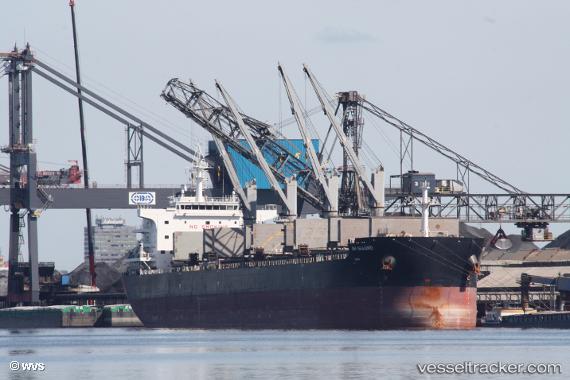
 SEABIRD
Current Status
Where is the vessel?
SEABIRD is currently in 47 nm W of Kommetjie, based on AIS data received less than 1h ago.
Latest AIS update:
Current position: 34.31660° S, 17.39074° E (47 nm W of Kommetjie)
Average speed (last 7 days): Loading…
Average speed (last 30 days): Loading…
Vessel profile: SEABIRD is a Bulk Carrier with dimensions 33m x 200m.
This page combines live AIS, route history, probable destination signals, nearby traffic, and port activity for practical vessel monitoring.
The current position of vessel SEABIRD is -34.31660 lat / 17.39074 lng. Updated: 2026-04-17 12:20:41 UTCNearest reference points:
- 18 nm SW of Cape Of Good Hope
- 12 nm W of ROBBEN ISLAND
- Near HOUT BAY
Currently sailing under the flag of Liberia ![]()
SEABIRD built in 2016 year
Deadweight:
63553 tDetails:
Live Vessel SEABIRD Analytics (details, animations, etc.)
Recent AIS points (UTC):
2026-04-17 05:36:17 UTC · -33.94269, 16.12791 · SOG 10.5 kn · COG 106°2026-04-17 08:19:31 UTC · -34.09635, 16.66433 · SOG 10.1 kn · COG 109°
2026-04-17 10:09:28 UTC · -34.19500, 17.00500 · SOG 9 kn · COG -1°
2026-04-17 12:20:41 UTC · -34.31660, 17.39074 · SOG 9.7 kn · COG 104°