 vesseltracker.com
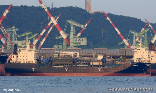
 Paros
Paros
Current Status
Where is the vessel?
Paros is currently in 99 nm SE of Raichur, based on AIS data received less than 1h ago.
Latest AIS update:
Current position: 15.21900° N, 75.99137° W (99 nm SE of Raichur)
Average speed (last 7 days): Loading…
Average speed (last 30 days): Loading…
Vessel profile: Paros is a Lpg Tanker with dimensions 147m x 147m.
This page combines live AIS, route history, probable destination signals, nearby traffic, and port activity for practical vessel monitoring.
The current position of vessel Paros is 15.21900 lat / -75.99137 lng. Updated: 2026-04-18 17:59:36 UTCCurrently sailing under the flag of Greece ![]()
Details:
Live Vessel Paros Analytics (details, animations, etc.)
Recent AIS points (UTC):
2026-04-18 12:23:40 UTC · 14.64249, -74.57574 · SOG 15.5 kn · COG 295°2026-04-18 12:54:15 UTC · 14.69229, -74.70185 · SOG 15.5 kn · COG 292°
2026-04-18 16:19:31 UTC · 15.04393, -75.56887 · SOG 15.9 kn · COG 293°
2026-04-18 17:59:36 UTC · 15.21900, -75.99137 · SOG 16.3 kn · COG 290°