 vesseltracker.com
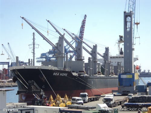
 SEA HOPE
Current Status
Where is the vessel?
SEA HOPE is currently in 118 nm W of Yetagun Field, based on AIS data received about 1h ago.
Latest AIS update:
Current position: 13.25197° N, 94.83501° E (118 nm W of Yetagun Field)
Average speed (last 7 days): Loading…
Average speed (last 30 days): Loading…
Vessel profile: SEA HOPE is a Cargo with dimensions m x m.
This page combines live AIS, route history, probable destination signals, nearby traffic, and port activity for practical vessel monitoring.
The current position of vessel SEA HOPE is 13.25197 lat / 94.83501 lng. Updated: 2026-04-17 14:10:07 UTCNearest reference points:
- 84 nm NW of Yetagun Field
- Near Port Blair
- 126 nm S of Yetagun Field
Currently sailing under the flag of Liberia ![]()
Details:
Live Vessel SEA HOPE Analytics (details, animations, etc.)
Recent AIS points (UTC):
2026-04-17 07:18:21 UTC · 11.95634, 95.50585 · SOG 12.1 kn · COG -1°2026-04-17 09:59:37 UTC · 12.46320, 95.24724 · SOG 13.8 kn · COG -1°
2026-04-17 11:51:46 UTC · 12.83069, 95.04861 · SOG 12.5 kn · COG 332°
2026-04-17 14:10:07 UTC · 13.25197, 94.83501 · SOG 12.7 kn · COG 331°