 vesseltracker.com
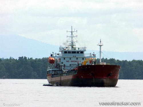
 Mt Kapuas Marine
Current Status
Where is the vessel?
Mt Kapuas Marine is currently in 63 nm NW of Wamsasi, based on AIS data received about 2h ago.
Latest AIS update:
Current position: 2.77500° S, 125.48500° E (63 nm NW of Wamsasi)
Average speed (last 7 days): Loading…
Average speed (last 30 days): Loading…
Vessel profile: Mt Kapuas Marine is a Oil Products Tanker with dimensions 99m x 23m.
This page combines live AIS, route history, probable destination signals, nearby traffic, and port activity for practical vessel monitoring.
The current position of vessel Mt Kapuas Marine is -2.77500 lat / 125.48500 lng. Updated: 2026-04-07 10:58:28 UTCNearest reference points:
- 69 nm NW of Wainibe
- 55 nm S of Labuha, Molucas
Currently sailing under the flag of Indonesia ![]()
Details:
Live Vessel Mt Kapuas Marine Analytics (details, animations, etc.)
Recent AIS points (UTC):
2026-04-07 06:01:29 UTC · -2.61167, 125.90333 · SOG 5 kn · COG -1°2026-04-07 06:37:28 UTC · -2.63167, 125.85333 · SOG 5 kn · COG -1°
2026-04-07 08:16:26 UTC · -2.68500, 125.71333 · SOG 5 kn · COG -1°
2026-04-07 10:58:28 UTC · -2.77500, 125.48500 · SOG 5 kn · COG -1°