 vesseltracker.com
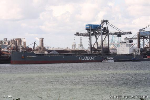
Hermine Oldendorff
Current StatusWhere is the vessel?
Hermine Oldendorff is currently in Near JINGTANG, based on AIS data received about 1h ago.
Latest AIS update:
Current position: 39.24076° N, 119.08007° E (Near JINGTANG)
Average speed (last 7 days): Loading…
Average speed (last 30 days): Loading…
Vessel profile: Hermine Oldendorff is a Bulk Carrier with dimensions 50m x 299m.
This page combines live AIS, route history, probable destination signals, nearby traffic, and port activity for practical vessel monitoring.
The current position of vessel Hermine Oldendorff is 39.24076 lat / 119.08007 lng. Updated: 2026-03-27 11:21:22 UTCNearest reference points:
- Near JINGTANG
- 19 nm SE of JINGTANG
- Near CAOFEIDIAN
Details:
Live Vessel Hermine Oldendorff Analytics (details, animations, etc.)
Recent AIS points (UTC):
2026-03-27 05:24:13 UTC · 39.24084, 119.08013 · SOG 0 kn · COG 56°2026-03-27 08:15:18 UTC · 39.24080, 119.08015 · SOG 0 kn · COG -1°
2026-03-27 10:18:17 UTC · 39.24076, 119.08014 · SOG 0 kn · COG 51°
2026-03-27 11:21:22 UTC · 39.24076, 119.08007 · SOG 0 kn · COG 54°