 vesseltracker.com
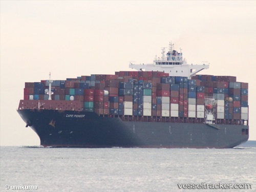
Cape Pioneer
Current StatusWhere is the vessel?
Cape Pioneer is currently in 200 nm N of Guimaraes, based on AIS data received about 6h ago.
Latest AIS update:
Current position: 1.16270° N, 44.08307° W (200 nm N of Guimaraes)
Average speed (last 7 days): Loading…
Average speed (last 30 days): Loading…
Vessel profile: Cape Pioneer is a Container Ship with dimensions 43m x 272m.
This page combines live AIS, route history, probable destination signals, nearby traffic, and port activity for practical vessel monitoring.
The current position of vessel Cape Pioneer is 1.16270 lat / -44.08307 lng. Updated: 2026-04-05 12:54:41 UTCNearest reference points:
- 223 nm SW of Juazeiro-Pi
Details:
Live Vessel Cape Pioneer Analytics (details, animations, etc.)
Recent AIS points (UTC):
2026-04-05 08:19:59 UTC · 0.47852, -43.05954 · SOG 15.9 kn · COG 303°2026-04-05 10:07:47 UTC · 0.74607, -43.46012 · SOG 16 kn · COG 306°
2026-04-05 12:08:55 UTC · 1.04667, -43.91000 · SOG 16 kn · COG -1°
2026-04-05 12:54:41 UTC · 1.16270, -44.08307 · SOG 16 kn · COG 302°