 vesseltracker.com
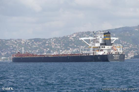
 MARAN LOYALTY
Current Status
Where is the vessel?
MARAN LOYALTY is currently in 277 nm E of Diego Garcia, based on AIS data received less than 1h ago.
Latest AIS update:
Current position: 8.08073° S, 77.05410° E (277 nm E of Diego Garcia)
Average speed (last 7 days): Loading…
Average speed (last 30 days): Loading…
Vessel profile: MARAN LOYALTY is a Bulk Carrier with dimensions 299m x 50m.
This page combines live AIS, route history, probable destination signals, nearby traffic, and port activity for practical vessel monitoring.
The current position of vessel MARAN LOYALTY is -8.08073 lat / 77.05410 lng. Updated: 2026-04-22 15:39:52 UTCNearest reference points:
- 284 nm E of Diego Garcia
- 208 nm E of Diego Garcia
- Open sea, approx. 400 nm off the nearest listed port
Currently sailing under the flag of Greece ![]()
MARAN LOYALTY built in 2017 year
Deadweight:
207991 tDetails:
Live Vessel MARAN LOYALTY Analytics (details, animations, etc.)
Recent AIS points (UTC):
2026-04-22 11:28:06 UTC · -7.58671, 77.59676 · SOG 10.7 kn · COG 226°2026-04-22 13:11:18 UTC · -7.78911, 77.37526 · SOG 10.3 kn · COG -1°
2026-04-22 13:42:08 UTC · -7.84833, 77.30833 · SOG 10 kn · COG -1°
2026-04-22 15:39:52 UTC · -8.08073, 77.05410 · SOG 10.7 kn · COG 226°