 vesseltracker.com
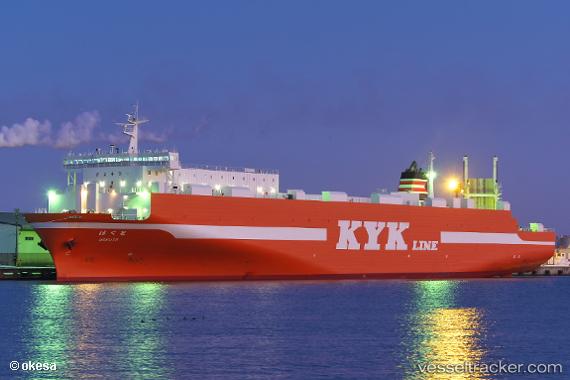
Hokuto
Current StatusWhere is the vessel?
Hokuto is currently in 38 nm NW of Sado Shima Apt, based on AIS data received about 1h ago.
Latest AIS update:
Current position: 38.43004° N, 137.75500° E (38 nm NW of Sado Shima Apt)
Average speed (last 7 days): Loading…
Average speed (last 30 days): Loading…
Vessel profile: Hokuto is a Ro Ro Cargo Ship with dimensions 27m x 179m.
This page combines live AIS, route history, probable destination signals, nearby traffic, and port activity for practical vessel monitoring.
The current position of vessel Hokuto is 38.43004 lat / 137.75500 lng. Updated: 2026-04-02 02:14:28 UTCNearest reference points:
- 63 nm NW of Sado Shima Apt
- Near Toyama
Details:
Live Vessel Hokuto Analytics (details, animations, etc.)
Recent AIS points (UTC):
2026-04-01 20:03:02 UTC · 40.34247, 139.49738 · SOG 22.4 kn · COG 216°2026-04-01 21:53:02 UTC · 39.78505, 138.97725 · SOG 22.1 kn · COG 215°
2026-04-02 00:21:39 UTC · 39.03409, 138.29347 · SOG 23.2 kn · COG 214°
2026-04-02 02:14:28 UTC · 38.43004, 137.75500 · SOG 22.8 kn · COG 216°