 vesseltracker.com
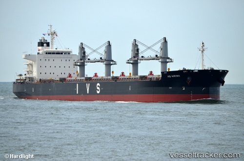
 MARAWAH ISLAND
Current Status
Where is the vessel?
MARAWAH ISLAND is currently in 31 nm SW of Ucluelet, based on AIS data received about 1h ago.
Latest AIS update:
Current position: 48.48821° N, 125.89416° W (31 nm SW of Ucluelet)
Average speed (last 7 days): Loading…
Average speed (last 30 days): Loading…
Vessel profile: MARAWAH ISLAND is a Cargo with dimensions m x m.
This page combines live AIS, route history, probable destination signals, nearby traffic, and port activity for practical vessel monitoring.
The current position of vessel MARAWAH ISLAND is 48.48821 lat / -125.89416 lng. Updated: 2026-04-18 02:02:10 UTCNearest reference points:
- 21 nm NW of Tatoosh Island
- Near Clallam Bay
- Near Powell River
Currently sailing under the flag of Singapore ![]()
Details:
Live Vessel MARAWAH ISLAND Analytics (details, animations, etc.)
Recent AIS points (UTC):
2026-04-17 20:09:27 UTC · 48.39740, -124.31609 · SOG 10.8 kn · COG 295°2026-04-17 21:33:47 UTC · 48.49300, -124.66567 · SOG 10.9 kn · COG 292°
2026-04-17 23:45:13 UTC · 48.51398, -125.25279 · SOG 10.5 kn · COG 269°
2026-04-18 02:02:10 UTC · 48.48821, -125.89416 · SOG 11.1 kn · COG 270°