 vesseltracker.com
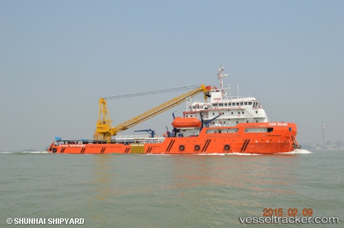
Icon Valiant
Current StatusWhere is the vessel?
Icon Valiant is currently in 23 nm NW of Muara, based on AIS data received less than 1h ago.
Latest AIS update:
Current position: 5.22461° N, 114.74560° E (23 nm NW of Muara)
Average speed (last 7 days): Loading…
Average speed (last 30 days): Loading…
Vessel profile: Icon Valiant is a Offshore Support Vessel with dimensions 21m x 83m.
This page combines live AIS, route history, probable destination signals, nearby traffic, and port activity for practical vessel monitoring.
The current position of vessel Icon Valiant is 5.22461 lat / 114.74560 lng. Updated: 2026-04-18 06:08:49 UTCNearest reference points:
- Near Kikeh
- 11 nm N of MIRI
- Near MIRI
Details:
Live Vessel Icon Valiant Analytics (details, animations, etc.)
Recent AIS points (UTC):
2026-04-17 23:05:49 UTC · 5.19739, 114.74027 · SOG 0.1 kn · COG 60°2026-04-18 00:50:38 UTC · 5.19851, 114.74046 · SOG 0 kn · COG 38°
2026-04-18 00:50:38 UTC · 5.19851, 114.74046 · SOG 0 kn · COG 38°
2026-04-18 06:08:49 UTC · 5.22461, 114.74560 · SOG 0.6 kn · COG 233°