 vesseltracker.com
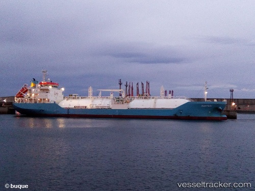
Kahyasi
Current StatusWhere is the vessel?
Kahyasi is currently in Near Kurasini, based on AIS data received less than 1h ago.
Latest AIS update:
Current position: 6.84447° S, 39.29974° E (Near Kurasini)
Average speed (last 7 days): Loading…
Average speed (last 30 days): Loading…
Vessel profile: Kahyasi is a Lpg Tanker with dimensions 21m x 120m.
This page combines live AIS, route history, probable destination signals, nearby traffic, and port activity for practical vessel monitoring.
The current position of vessel Kahyasi is -6.84447 lat / 39.29974 lng. Updated: 2026-04-23 07:38:52 UTCNearest reference points:
- Near Dar Es Salaam
Details:
Live Vessel Kahyasi Analytics (details, animations, etc.)
Recent AIS points (UTC):
2026-04-23 04:17:48 UTC · -6.84443, 39.29973 · SOG 0 kn · COG 238°2026-04-23 05:35:51 UTC · -6.84446, 39.29975 · SOG 0 kn · COG 238°
2026-04-23 07:27:20 UTC · -6.84333, 39.29833 · SOG 0 kn · COG -1°
2026-04-23 07:38:52 UTC · -6.84447, 39.29974 · SOG 0 kn · COG 238°