 vesseltracker.com
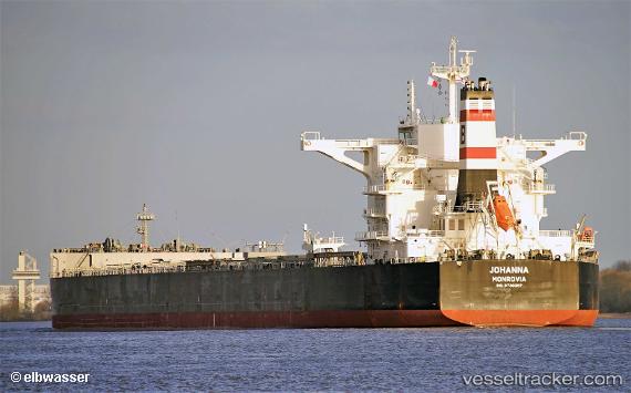
Johanna
Current StatusWhere is the vessel?
Johanna is currently in 42 nm SE of Belida Terminal, based on AIS data received about 2h ago.
Latest AIS update:
Current position: 3.55125° N, 105.53403° E (42 nm SE of Belida Terminal)
Average speed (last 7 days): Loading…
Average speed (last 30 days): Loading…
Vessel profile: Johanna is a Bulk Carrier with dimensions 45m x 292m.
This page combines live AIS, route history, probable destination signals, nearby traffic, and port activity for practical vessel monitoring.
The current position of vessel Johanna is 3.55125 lat / 105.53403 lng. Updated: 2026-03-26 14:05:53 UTCNearest reference points:
- 39 nm SE of Belida Terminal
- 26 nm E of Belida Terminal
- 30 nm SW of Belanak Terminal
Details:
Live Vessel Johanna Analytics (details, animations, etc.)
Recent AIS points (UTC):
2026-03-26 08:02:01 UTC · 2.75425, 105.14471 · SOG 8.8 kn · COG 20°2026-03-26 10:03:14 UTC · 3.02924, 105.25775 · SOG 8.8 kn · COG 20°
2026-03-26 11:55:03 UTC · 3.27216, 105.36760 · SOG 8.9 kn · COG 17°
2026-03-26 14:05:53 UTC · 3.55125, 105.53403 · SOG 9.1 kn · COG 38°