 vesseltracker.com
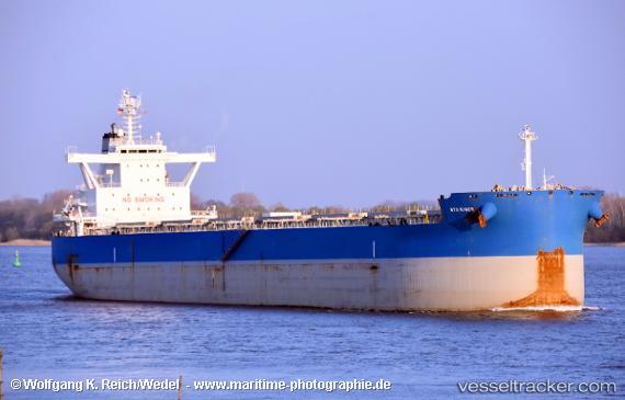
 THALIA
Current Status
Where is the vessel?
THALIA is currently in 154 nm SE of Port Saint John's, based on AIS data received about 1h ago.
Latest AIS update:
Current position: 33.89111° S, 30.98022° E (154 nm SE of Port Saint John's)
Average speed (last 7 days): Loading…
Average speed (last 30 days): Loading…
Vessel profile: THALIA is a Bulk Carrier with dimensions 32m x 229m.
This page combines live AIS, route history, probable destination signals, nearby traffic, and port activity for practical vessel monitoring.
The current position of vessel THALIA is -33.89111 lat / 30.98022 lng. Updated: 2026-04-18 11:55:51 UTCNearest reference points:
- 125 nm SE of Port Edward
- 23 nm E of Port Saint John's
Currently sailing under the flag of Marshall Islands ![]()
THALIA built in 2016 year
Deadweight:
81031 tDetails:
Live Vessel THALIA Analytics (details, animations, etc.)
Recent AIS points (UTC):
2026-04-18 06:11:43 UTC · -33.95260, 31.70068 · SOG 8 kn · COG 270°2026-04-18 08:03:05 UTC · -33.94819, 31.41722 · SOG 7 kn · COG 270°
2026-04-18 09:36:41 UTC · -33.93247, 31.21880 · SOG 5.9 kn · COG 272°
2026-04-18 11:55:51 UTC · -33.89111, 30.98022 · SOG 5.4 kn · COG 279°