 vesseltracker.com
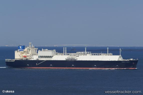
 Energy Liberty
Current Status
Where is the vessel?
Energy Liberty is currently in Near Prigorodnoye, based on AIS data received less than 1h ago.
Latest AIS update:
Current position: 46.58167° N, 142.88834° E (Near Prigorodnoye)
Average speed (last 7 days): Loading…
Average speed (last 30 days): Loading…
Vessel profile: Energy Liberty is a Lng Tanker with dimensions 300m x 49m.
This page combines live AIS, route history, probable destination signals, nearby traffic, and port activity for practical vessel monitoring.
The current position of vessel Energy Liberty is 46.58167 lat / 142.88834 lng. Updated: 2026-04-07 18:11:23 UTCNearest reference points:
- Near Korsakov
- Near ANIVA
- 40 nm N of Cavle
Currently sailing under the flag of Japan ![]()
Details:
Live Vessel Energy Liberty Analytics (details, animations, etc.)
Recent AIS points (UTC):
2026-04-07 12:14:22 UTC · 46.58167, 142.88834 · SOG 0 kn · COG -1°2026-04-07 13:47:26 UTC · 46.58167, 142.88667 · SOG 0 kn · COG -1°
2026-04-07 16:05:19 UTC · 46.58167, 142.88834 · SOG 0 kn · COG -1°
2026-04-07 18:11:23 UTC · 46.58167, 142.88834 · SOG 0 kn · COG -1°