 vesseltracker.com
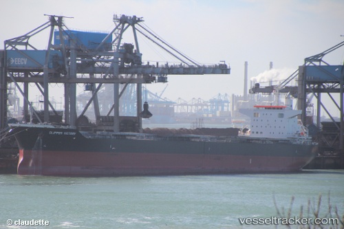
 SANTA IRINI
Current Status
Where is the vessel?
SANTA IRINI is currently in Near HADERA, based on AIS data received about 6h ago.
Latest AIS update:
Current position: 32.47070° N, 34.86620° E (Near HADERA)
Average speed (last 7 days): Loading…
Average speed (last 30 days): Loading…
Vessel profile: SANTA IRINI is a Bulk Carrier with dimensions 32m x 224m.
This page combines live AIS, route history, probable destination signals, nearby traffic, and port activity for practical vessel monitoring.
The current position of vessel SANTA IRINI is 32.4707 lat / 34.8662 lng. Updated: 2026-04-18 04:19:47 UTCNearest reference points:
- Near Haifa
- 22 nm W of Haifa Granaries
- 17 nm E of Atakka Dry Port
Currently sailing under the flag of Malta ![]()
SANTA IRINI built in 2015 year
Deadweight:
77119 tDetails:
Live Vessel SANTA IRINI Analytics (details, animations, etc.)
Recent AIS points (UTC):
2026-04-18 04:01:56 UTC · 32.47080, 34.86610 · SOG 0 kn · COG 269°2026-04-18 04:19:47 UTC · 32.47070, 34.86620 · SOG 0.1 kn · COG 269°
2026-04-18 04:19:47 UTC · 32.47070, 34.86620 · SOG 0.1 kn · COG 269°
2026-04-18 04:19:47 UTC · 32.47070, 34.86620 · SOG 0.1 kn · COG 269°