 vesseltracker.com
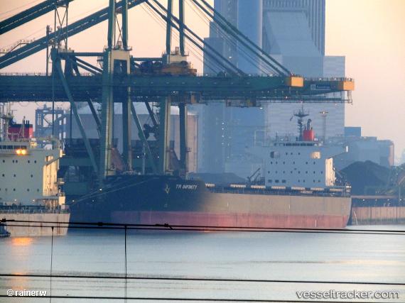
 ANDERMATT
Current Status
Where is the vessel?
ANDERMATT is currently in 25 nm W of Hulaylah Terminal, based on AIS data received less than 1h ago.
Latest AIS update:
Current position: 26.01405° N, 55.46591° E (25 nm W of Hulaylah Terminal)
Average speed (last 7 days): Loading…
Average speed (last 30 days): Loading…
Vessel profile: ANDERMATT is a Cargo with dimensions m x m.
This page combines live AIS, route history, probable destination signals, nearby traffic, and port activity for practical vessel monitoring.
The current position of vessel ANDERMATT is 26.01405 lat / 55.46591 lng. Updated: 2026-03-30 16:05:57 UTCNearest reference points:
- 13 nm NW of Hulaylah Terminal
- Near Hulaylah Terminal
- 20 nm NW of Hulaylah Terminal
Currently sailing under the flag of Liberia ![]()
Details:
Live Vessel ANDERMATT Analytics (details, animations, etc.)
Recent AIS points (UTC):
2026-03-30 00:29:34 UTC · 26.01214, 55.46622 · SOG 1 kn · COG -1°2026-03-30 00:29:34 UTC · 26.01214, 55.46622 · SOG 1 kn · COG -1°
2026-03-30 14:15:40 UTC · 26.01406, 55.46587 · SOG 0.3 kn · COG 256°
2026-03-30 16:05:57 UTC · 26.01405, 55.46591 · SOG 0.1 kn · COG -1°