 vesseltracker.com
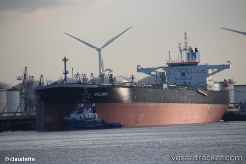
 NORDIC MOON
Current Status
Where is the vessel?
NORDIC MOON is currently in Near Choa Chu Kang, based on AIS data received about 1h ago.
Latest AIS update:
Current position: 1.24464° N, 103.91038° E (Near Choa Chu Kang)
Average speed (last 7 days): Loading…
Average speed (last 30 days): Loading…
Vessel profile: NORDIC MOON is a Tanker with dimensions m x m.
This page combines live AIS, route history, probable destination signals, nearby traffic, and port activity for practical vessel monitoring.
The current position of vessel NORDIC MOON is 1.24464 lat / 103.91038 lng. Updated: 2026-04-06 13:57:28 UTCNearest reference points:
- Near Choa Chu Kang
- Near Tampines
- Near Sambu
Currently sailing under the flag of Marshall Islands ![]()
Details:
Live Vessel NORDIC MOON Analytics (details, animations, etc.)
Recent AIS points (UTC):
2026-04-06 07:39:34 UTC · 1.24652, 103.91533 · SOG 0 kn · COG 255°2026-04-06 09:48:28 UTC · 1.24466, 103.91465 · SOG 0 kn · COG 303°
2026-04-06 11:27:30 UTC · 1.24443, 103.91121 · SOG 0 kn · COG 42°
2026-04-06 13:57:28 UTC · 1.24464, 103.91038 · SOG 0 kn · COG 65°