 vesseltracker.com
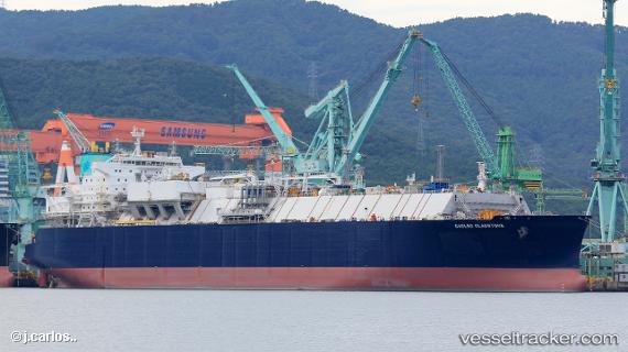
 Gaslog Gladstone
Current Status
Where is the vessel?
Gaslog Gladstone is currently in 137 nm E of FRASER ISLAND, based on AIS data received less than 1h ago.
Latest AIS update:
Current position: 25.36667° S, 155.55333° E (137 nm E of FRASER ISLAND)
Average speed (last 7 days): Loading…
Average speed (last 30 days): Loading…
Vessel profile: Gaslog Gladstone is a Lng Tanker with dimensions 293m x 46m.
This page combines live AIS, route history, probable destination signals, nearby traffic, and port activity for practical vessel monitoring.
The current position of vessel Gaslog Gladstone is -25.36667 lat / 155.55333 lng. Updated: 2026-04-08 10:15:34 UTCNearest reference points:
- 179 nm E of Beerwah
- Near NOOSAVILLE
- Near MOOLOOLABA
Currently sailing under the flag of Bermuda ![]()
Details:
Live Vessel Gaslog Gladstone Analytics (details, animations, etc.)
Recent AIS points (UTC):
2026-04-08 03:41:28 UTC · -26.64901, 156.29816 · SOG 13.3 kn · COG 329°2026-04-08 06:03:36 UTC · -26.16667, 156.02499 · SOG 14 kn · COG -1°
2026-04-08 08:21:19 UTC · -25.71475, 155.76520 · SOG 12.5 kn · COG 329°
2026-04-08 10:15:34 UTC · -25.36667, 155.55333 · SOG 12 kn · COG -1°