 vesseltracker.com
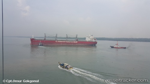
Belatlantic
Current StatusWhere is the vessel?
Belatlantic is currently in 18 nm NE of Lianyungang, based on AIS data received about 125d ago.
Latest AIS update:
Current position: 34.88887° N, 119.76966° E (18 nm NE of Lianyungang)
Average speed (last 7 days): Loading…
Average speed (last 30 days): Loading…
Vessel profile: Belatlantic is a Bulk Carrier with dimensions 32m x 199m.
This page combines live AIS, route history, probable destination signals, nearby traffic, and port activity for practical vessel monitoring.
The current position of vessel Belatlantic is 34.88887 lat / 119.76966 lng. Updated: 2025-12-04 04:20:57 UTCNearest reference points:
- 18 nm E of Lianyungang
- Near Lianyungang
- 18 nm N of CHENJIAGANG
Details:
Live Vessel Belatlantic Analytics (details, animations, etc.)
Recent AIS points (UTC):
2025-12-04 04:20:57 UTC · 34.88887, 119.76966 · SOG 0.1 kn · COG 198°