 vesseltracker.com
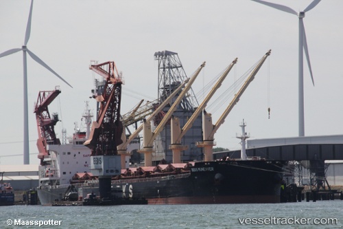
 FLAT
FLAT
Current Status
Where is the vessel?
FLAT is currently in Near Vitoria, based on AIS data received less than 1h ago.
Latest AIS update:
Current position: 20.32481° S, 40.33550° W (Near Vitoria)
Average speed (last 7 days): Loading…
Average speed (last 30 days): Loading…
Vessel profile: FLAT is a Cargo with dimensions m x m.
This page combines live AIS, route history, probable destination signals, nearby traffic, and port activity for practical vessel monitoring.
The current position of vessel FLAT is -20.32481 lat / -40.33550 lng. Updated: 2026-04-12 22:04:46 UTCNearest reference points:
- Near Vitoria
- Near BAIA DE VITORIA
- Near JARDIM CAMBURI
Currently sailing under the flag of Barbados ![]()
Details:
Live Vessel FLAT Analytics (details, animations, etc.)
Recent AIS points (UTC):
2026-04-12 16:16:50 UTC · -20.32477, -40.33545 · SOG 0 kn · COG 265°2026-04-12 17:37:51 UTC · -20.32484, -40.33549 · SOG 0.1 kn · COG 265°
2026-04-12 20:01:51 UTC · -20.32484, -40.33547 · SOG 0 kn · COG 265°
2026-04-12 22:04:46 UTC · -20.32481, -40.33550 · SOG 0 kn · COG 264°