 vesseltracker.com
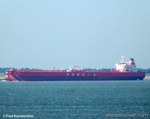
 ELANDRA FIRTH
Current Status
Where is the vessel?
ELANDRA FIRTH is currently in 185 nm NE of Itarema, based on AIS data received about 1h ago.
Latest AIS update:
Current position: 0.09500° S, 38.67667° W (185 nm NE of Itarema)
Average speed (last 7 days): Loading…
Average speed (last 30 days): Loading…
Vessel profile: ELANDRA FIRTH is a Tanker with dimensions m x m.
This page combines live AIS, route history, probable destination signals, nearby traffic, and port activity for practical vessel monitoring.
The current position of vessel ELANDRA FIRTH is -0.09500 lat / -38.67667 lng. Updated: 2026-04-08 15:58:31 UTCNearest reference points:
- 141 nm N of Itarema
- 169 nm N of Pecém Pt/São Gonçalo do Amarante
- 81 nm N of Acarau
Currently sailing under the flag of Liberia ![]()
Details:
Live Vessel ELANDRA FIRTH Analytics (details, animations, etc.)
Recent AIS points (UTC):
2026-04-08 10:23:01 UTC · 0.57688, -39.65083 · SOG 12.9 kn · COG 122°2026-04-08 11:40:32 UTC · 0.41833, -39.42333 · SOG 12 kn · COG -1°
2026-04-08 13:35:32 UTC · 0.18548, -39.08558 · SOG 12.7 kn · COG 125°
2026-04-08 15:58:31 UTC · -0.09500, -38.67667 · SOG 12 kn · COG -1°