 vesseltracker.com
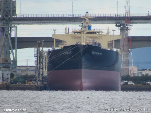
Ns Frontier
Current StatusWhere is the vessel?
Ns Frontier is currently in 67 nm W of Poty, based on AIS data received about 1h ago.
Latest AIS update:
Current position: 17.91391° N, 75.17840° W (67 nm W of Poty)
Average speed (last 7 days): Loading…
Average speed (last 30 days): Loading…
Vessel profile: Ns Frontier is a Lpg Tanker with dimensions 37m x 230m.
This page combines live AIS, route history, probable destination signals, nearby traffic, and port activity for practical vessel monitoring.
The current position of vessel Ns Frontier is 17.91391 lat / -75.17840 lng. Updated: 2026-04-22 14:06:42 UTCNearest reference points:
- 16 nm SE of Ceiba Hueca
Details:
Live Vessel Ns Frontier Analytics (details, animations, etc.)
Recent AIS points (UTC):
2026-04-22 10:23:22 UTC · 18.29537, -76.01288 · SOG 14.1 kn · COG 111°2026-04-22 11:51:59 UTC · 18.13957, -75.68084 · SOG 14.4 kn · COG 113°
2026-04-22 13:01:22 UTC · 18.02630, -75.42049 · SOG 14 kn · COG 110°
2026-04-22 14:06:42 UTC · 17.91391, -75.17840 · SOG 14.3 kn · COG 116°