 vesseltracker.com
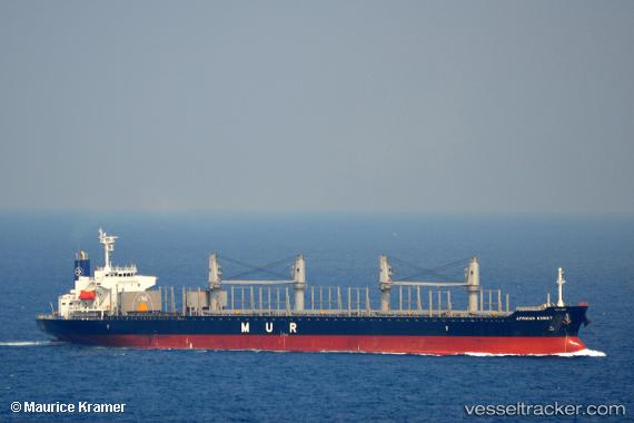
 MANTA URAZ
Current Status
Where is the vessel?
MANTA URAZ is currently in 257 nm W of Achau, based on AIS data received about 2h ago.
Latest AIS update:
Current position: 46.90970° N, 168.31728° W (257 nm W of Achau)
Average speed (last 7 days): Loading…
Average speed (last 30 days): Loading…
Vessel profile: MANTA URAZ is a Cargo with dimensions m x m.
This page combines live AIS, route history, probable destination signals, nearby traffic, and port activity for practical vessel monitoring.
The current position of vessel MANTA URAZ is 46.90970 lat / -168.31728 lng. Updated: 2026-04-17 05:37:39 UTCNearest reference points:
- Open sea, approx. 407 nm off the nearest listed port
- Open sea, approx. 409 nm off the nearest listed port
Currently sailing under the flag of Marshall Islands ![]()
Details:
Live Vessel MANTA URAZ Analytics (details, animations, etc.)
Recent AIS points (UTC):
2026-04-16 23:39:11 UTC · 46.95891, -166.89340 · SOG 10.6 kn · COG 279°2026-04-17 02:41:10 UTC · 47.02243, -167.64275 · SOG 10.1 kn · COG 279°
2026-04-17 04:13:39 UTC · 47.00561, -168.00340 · SOG 9.8 kn · COG 250°
2026-04-17 05:37:39 UTC · 46.90970, -168.31728 · SOG 10.4 kn · COG 250°