 vesseltracker.com
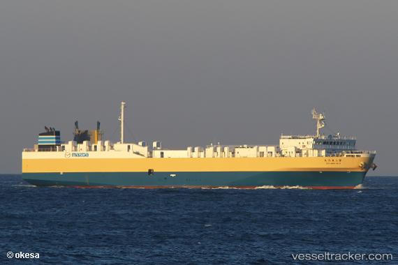
Toyo Maru No.3
Current StatusWhere is the vessel?
Toyo Maru No.3 is currently in Near Hiroshima, based on AIS data received less than 1h ago.
Latest AIS update:
Current position: 34.33982° N, 132.48486° E (Near Hiroshima)
Average speed (last 7 days): Loading…
Average speed (last 30 days): Loading…
Vessel profile: Toyo Maru No.3 is a Vehicles Carrier with dimensions 21m x 125m.
This page combines live AIS, route history, probable destination signals, nearby traffic, and port activity for practical vessel monitoring.
The current position of vessel Toyo Maru No.3 is 34.33982 lat / 132.48486 lng. Updated: 2026-04-20 13:43:31 UTCNearest reference points:
- Near Hiroshima
- Near Kure
- Near TSUWAJI
Details:
Live Vessel Toyo Maru No.3 Analytics (details, animations, etc.)
Recent AIS points (UTC):
2026-04-20 09:25:32 UTC · 34.33985, 132.48486 · SOG 0 kn · COG 220°2026-04-20 10:13:31 UTC · 34.33984, 132.48486 · SOG 0 kn · COG 221°
2026-04-20 12:16:29 UTC · 34.33989, 132.48486 · SOG 0 kn · COG 221°
2026-04-20 13:43:31 UTC · 34.33982, 132.48486 · SOG 0 kn · COG 221°