 vesseltracker.com
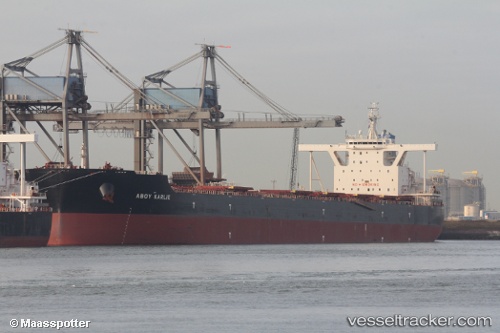
 STAR KARLIE
Current Status
Where is the vessel?
STAR KARLIE is currently in 265 nm N of Mutineer, based on AIS data received about 1h ago.
Latest AIS update:
Current position: 14.89333° S, 117.18333° E (265 nm N of Mutineer)
Average speed (last 7 days): Loading…
Average speed (last 30 days): Loading…
Vessel profile: STAR KARLIE is a Bulk Carrier with dimensions 300m x 50m.
This page combines live AIS, route history, probable destination signals, nearby traffic, and port activity for practical vessel monitoring.
The current position of vessel STAR KARLIE is -14.89333 lat / 117.18333 lng. Updated: 2026-03-31 05:50:29 UTCNearest reference points:
- 244 nm N of Mutineer
- 185 nm NE of Mutineer
Currently sailing under the flag of Liberia ![]()
STAR KARLIE built in 2016 year
Deadweight:
207566 tDetails:
Live Vessel STAR KARLIE Analytics (details, animations, etc.)
Recent AIS points (UTC):
2026-03-30 23:29:30 UTC · -16.09667, 117.49667 · SOG 11 kn · COG -1°2026-03-31 02:05:30 UTC · -15.59500, 117.37667 · SOG 11 kn · COG -1°
2026-03-31 03:29:32 UTC · -15.32667, 117.30833 · SOG 11 kn · COG -1°
2026-03-31 05:50:29 UTC · -14.89333, 117.18333 · SOG 11 kn · COG -1°