 vesseltracker.com
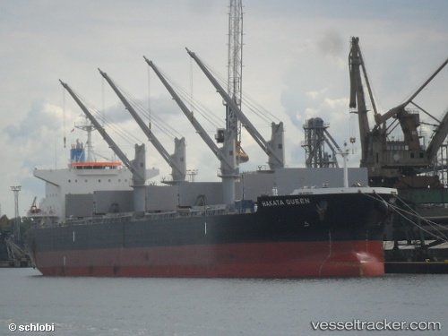
 ESPERITA
Current Status
Where is the vessel?
ESPERITA is currently in 42 nm E of Kakap Natuna Terminal, based on AIS data received less than 1h ago.
Latest AIS update:
Current position: 5.05368° N, 106.65642° E (42 nm E of Kakap Natuna Terminal)
Average speed (last 7 days): Loading…
Average speed (last 30 days): Loading…
Vessel profile: ESPERITA is a Cargo with dimensions m x m.
This page combines live AIS, route history, probable destination signals, nearby traffic, and port activity for practical vessel monitoring.
The current position of vessel ESPERITA is 5.05368 lat / 106.65642 lng. Updated: 2026-04-19 02:11:55 UTCNearest reference points:
- 46 nm E of Kakap Natuna Terminal
- 45 nm E of Kakap Natuna Terminal
- 36 nm SW of Slipi
Currently sailing under the flag of Marshall Islands ![]()
Details:
Live Vessel ESPERITA Analytics (details, animations, etc.)
Recent AIS points (UTC):
2026-04-18 20:02:05 UTC · 5.94810, 107.48605 · SOG 11.5 kn · COG 221°2026-04-18 22:16:13 UTC · 5.63546, 107.18936 · SOG 11.8 kn · COG -1°
2026-04-18 23:50:05 UTC · 5.41270, 106.96693 · SOG 12.2 kn · COG 220°
2026-04-19 02:11:55 UTC · 5.05368, 106.65642 · SOG 11.9 kn · COG 221°