 vesseltracker.com
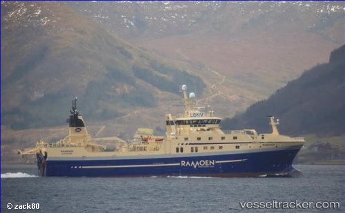
 Ramoen
Current Status
Where is the vessel?
Ramoen is currently in 102 nm W of Snohvit, based on AIS data received about 2h ago.
Latest AIS update:
Current position: 72.01456° N, 16.10421° E (102 nm W of Snohvit)
Average speed (last 7 days): Loading…
Average speed (last 30 days): Loading…
Vessel profile: Ramoen is a Fishing Vessel with dimensions 75m x 74m.
This page combines live AIS, route history, probable destination signals, nearby traffic, and port activity for practical vessel monitoring.
The current position of vessel Ramoen is 72.01456 lat / 16.10421 lng. Updated: 2026-03-28 15:38:32 UTCNearest reference points:
- 52 nm NW of Ersfjord
- 96 nm NW of ANDENES
- Near SOMMAROY
Currently sailing under the flag of Norway ![]()
Details:
Live Vessel Ramoen Analytics (details, animations, etc.)
Recent AIS points (UTC):
2026-03-28 09:35:26 UTC · 72.62167, 17.02833 · SOG 10 kn · COG -1°2026-03-28 12:22:41 UTC · 72.16011, 16.30991 · SOG 11.9 kn · COG 220°
2026-03-28 13:59:32 UTC · 72.07160, 16.08798 · SOG 3.3 kn · COG 175°
2026-03-28 15:38:32 UTC · 72.01456, 16.10421 · SOG 3.1 kn · COG 162°