 vesseltracker.com
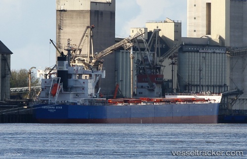
Hiroshima Star
Current StatusWhere is the vessel?
Hiroshima Star is currently in Open sea (no nearby ports in database), based on AIS data received about 2h ago.
Latest AIS update:
Current position: 20.32621° S, 77.70709° E (Open sea (no nearby ports in database))
Average speed (last 7 days): Loading…
Average speed (last 30 days): Loading…
Vessel profile: Hiroshima Star is a Bulk Carrier with dimensions 32m x 229m.
This page combines live AIS, route history, probable destination signals, nearby traffic, and port activity for practical vessel monitoring.
The current position of vessel Hiroshima Star is -20.32621 lat / 77.70709 lng. Updated: 2026-03-26 13:35:37 UTCNearest reference points:
- Open sea (no nearby ports in database)
- Open sea, approx. 447 nm off the nearest listed port
- Open sea, approx. 435 nm off the nearest listed port
Details:
Live Vessel Hiroshima Star Analytics (details, animations, etc.)
Recent AIS points (UTC):
2026-03-26 07:34:27 UTC · -19.93675, 79.05220 · SOG 13.2 kn · COG 254°2026-03-26 09:28:30 UTC · -20.05855, 78.62639 · SOG 12.9 kn · COG 254°
2026-03-26 12:11:55 UTC · -20.23753, 78.02256 · SOG 13.1 kn · COG 256°
2026-03-26 13:35:37 UTC · -20.32621, 77.70709 · SOG 13.1 kn · COG 257°