 vesseltracker.com
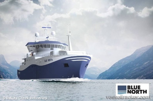
Blue North
Current StatusWhere is the vessel?
Blue North is currently in 63 nm NW of Dutch Harbor, based on AIS data received about 7h ago.
Latest AIS update:
Current position: 54.66333° N, 167.71832° W (63 nm NW of Dutch Harbor)
Average speed (last 7 days): Loading…
Average speed (last 30 days): Loading…
Vessel profile: Blue North is a Fishing Vessel with dimensions 14m x 58m.
This page combines live AIS, route history, probable destination signals, nearby traffic, and port activity for practical vessel monitoring.
The current position of vessel Blue North is 54.66333 lat / -167.71832 lng. Updated: 2026-04-08 12:09:42 UTCNearest reference points:
- Near Dutch Harbor
Details:
Live Vessel Blue North Analytics (details, animations, etc.)
Recent AIS points (UTC):
2026-04-08 09:43:49 UTC · 54.44116, -167.24506 · SOG 8.7 kn · COG 305°2026-04-08 11:36:41 UTC · 54.61500, -167.61667 · SOG 8 kn · COG -1°
2026-04-08 12:09:42 UTC · 54.66333, -167.71832 · SOG 7 kn · COG -1°
2026-04-08 12:09:42 UTC · 54.66333, -167.71832 · SOG 7 kn · COG -1°