 vesseltracker.com
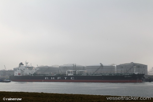
Sea Shell
Current StatusWhere is the vessel?
Sea Shell is currently in 16 nm E of Il-Kappara, based on AIS data received about 3h ago.
Latest AIS update:
Current position: 35.94920° N, 14.86684° E (16 nm E of Il-Kappara)
Average speed (last 7 days): Loading…
Average speed (last 30 days): Loading…
Vessel profile: Sea Shell is a Crude Oil Tanker with dimensions 48m x 274m.
This page combines live AIS, route history, probable destination signals, nearby traffic, and port activity for practical vessel monitoring.
The current position of vessel Sea Shell is 35.94920 lat / 14.86684 lng. Updated: 2026-04-08 19:20:54 UTCNearest reference points:
- 13 nm E of Il-Kappara
- 18 nm E of Il-Kappara
- Near Xghajra
Details:
Live Vessel Sea Shell Analytics (details, animations, etc.)
Recent AIS points (UTC):
2026-04-08 13:59:56 UTC · 35.94954, 14.86791 · SOG 0 kn · COG 308°2026-04-08 16:11:54 UTC · 35.94927, 14.86735 · SOG 0.1 kn · COG 323°
2026-04-08 17:38:56 UTC · 35.95009, 14.86804 · SOG 0 kn · COG 298°
2026-04-08 19:20:54 UTC · 35.94920, 14.86684 · SOG 0 kn · COG 325°