 vesseltracker.com
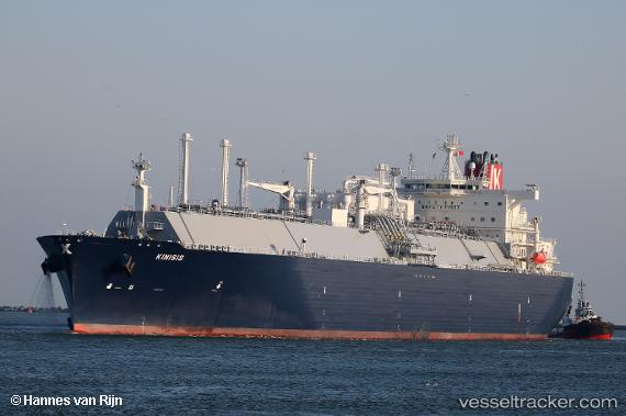
Kinisis
Current StatusWhere is the vessel?
Kinisis is currently in 73 nm NE of Marsh Harbour, based on AIS data received about 4h ago.
Latest AIS update:
Current position: 27.11605° N, 75.76110° W (73 nm NE of Marsh Harbour)
Average speed (last 7 days): Loading…
Average speed (last 30 days): Loading…
Vessel profile: Kinisis is a Lng Tanker with dimensions 46m x 295m.
This page combines live AIS, route history, probable destination signals, nearby traffic, and port activity for practical vessel monitoring.
The current position of vessel Kinisis is 27.11605 lat / -75.76110 lng. Updated: 2026-03-28 11:57:00 UTCNearest reference points:
- 113 nm NE of Green Turtle Cay
- Near Green Turtle Cay
- 75 nm N of Green Turtle Cay
Details:
Live Vessel Kinisis Analytics (details, animations, etc.)
Recent AIS points (UTC):
2026-03-28 08:05:29 UTC · 27.09248, -75.70109 · SOG 0.7 kn · COG 344°2026-03-28 09:41:59 UTC · 27.09827, -75.72747 · SOG 0.7 kn · COG 351°
2026-03-28 10:50:08 UTC · 27.10650, -75.74461 · SOG 0.7 kn · COG 352°
2026-03-28 11:57:00 UTC · 27.11605, -75.76110 · SOG 0.7 kn · COG 11°