 vesseltracker.com
 ND MARITSA
Current Status
Where is the vessel?
ND MARITSA is currently in 30 nm S of Walpole, based on AIS data received about 9h ago.
Latest AIS update:
Current position: 35.47986° S, 116.69452° E (30 nm S of Walpole)
Average speed (last 7 days): Loading…
Average speed (last 30 days): Loading…
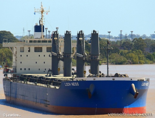
Vessel profile: ND MARITSA is a Bulk Carrier with dimensions 88m x 11m.
This page combines live AIS, route history, probable destination signals, nearby traffic, and port activity for practical vessel monitoring.
The current position of vessel ND MARITSA is -35.47986 lat / 116.69452 lng. Updated: 2026-04-10 08:10:09 UTCNearest reference points:
- Near Bunbury
Currently sailing under the flag of Marshall Islands ![]()
ND MARITSA built in 2016 year
Deadweight:
61272 tDetails:
Live Vessel ND MARITSA Analytics (details, animations, etc.)
Recent AIS points (UTC):
2026-04-10 01:21:53 UTC · -35.41835, 117.96594 · SOG 10.4 kn · COG 270°2026-04-10 04:15:27 UTC · -35.43265, 117.40094 · SOG 9 kn · COG 270°
2026-04-10 05:55:07 UTC · -35.43842, 117.10537 · SOG 8.9 kn · COG 262°
2026-04-10 08:10:09 UTC · -35.47986, 116.69452 · SOG 8.8 kn · COG 266°