 vesseltracker.com
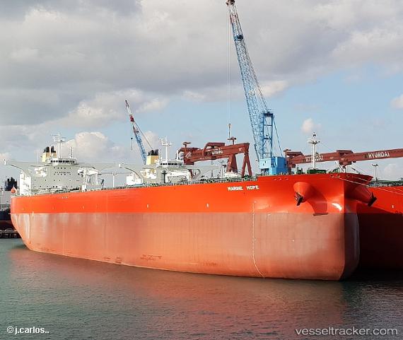
Marine Hope St
Current StatusWhere is the vessel?
Marine Hope St is currently in Open sea (no nearby ports in database), based on AIS data received about 1h ago.
Latest AIS update:
Current position: 33.76394° N, 170.77782° E (Open sea (no nearby ports in database))
Average speed (last 7 days): Loading…
Average speed (last 30 days): Loading…
Vessel profile: Marine Hope St is a Crude Oil Tanker with dimensions 60m x 333m.
This page combines live AIS, route history, probable destination signals, nearby traffic, and port activity for practical vessel monitoring.
The current position of vessel Marine Hope St is 33.76394 lat / 170.77782 lng. Updated: 2026-04-20 05:36:02 UTCNearest reference points:
- Open sea (no nearby ports in database)
Details:
Live Vessel Marine Hope St Analytics (details, animations, etc.)
Recent AIS points (UTC):
2026-04-20 01:51:03 UTC · 33.88942, 169.80318 · SOG 13.6 kn · COG 105°2026-04-20 04:05:42 UTC · 33.80839, 170.38940 · SOG 12.7 kn · COG 99°
2026-04-20 04:40:12 UTC · 33.78868, 170.53629 · SOG 13.2 kn · COG 98°
2026-04-20 05:36:02 UTC · 33.76394, 170.77782 · SOG 12.9 kn · COG 99°