 vesseltracker.com
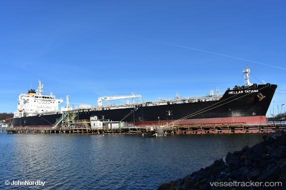
 HELLAS TATIANA
Current Status
Where is the vessel?
HELLAS TATIANA is currently in 264 nm W of Geraldton, based on AIS data received about 3h ago.
Latest AIS update:
Current position: 27.17465° S, 109.94287° E (264 nm W of Geraldton)
Average speed (last 7 days): Loading…
Average speed (last 30 days): Loading…
Vessel profile: HELLAS TATIANA is a Chemical/Oil Products Tanker with dimensions 183m x 32m.
This page combines live AIS, route history, probable destination signals, nearby traffic, and port activity for practical vessel monitoring.
The current position of vessel HELLAS TATIANA is -27.17465 lat / 109.94287 lng. Updated: 2026-04-05 04:38:35 UTCNearest reference points:
- 139 nm SW of Coral Bay
Currently sailing under the flag of Marshall Islands ![]()
HELLAS TATIANA built in 2017 year
Deadweight:
49834 tDetails:
Live Vessel HELLAS TATIANA Analytics (details, animations, etc.)
Recent AIS points (UTC):
2026-04-04 23:12:43 UTC · -27.95917, 110.80059 · SOG 12.5 kn · COG 316°2026-04-05 01:00:42 UTC · -27.69650, 110.50810 · SOG 11.8 kn · COG 318°
2026-04-05 02:52:17 UTC · -27.43374, 110.21843 · SOG 11.9 kn · COG 317°
2026-04-05 04:38:35 UTC · -27.17465, 109.94287 · SOG 12.3 kn · COG 314°