 vesseltracker.com
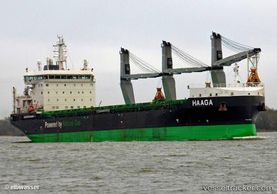
 Haaga
Haaga
Current Status
Where is the vessel?
Haaga is currently in 23 nm SE of Bergkvara, based on AIS data received less than 1h ago.
Latest AIS update:
Current position: 56.07507° N, 16.51505° E (23 nm SE of Bergkvara)
Average speed (last 7 days): Loading…
Average speed (last 30 days): Loading…
Vessel profile: Haaga is a Bulk Carrier with dimensions 160m x 26m.
This page combines live AIS, route history, probable destination signals, nearby traffic, and port activity for practical vessel monitoring.
The current position of vessel Haaga is 56.07507 lat / 16.51505 lng. Updated: 2026-04-22 16:25:49 UTCNearest reference points:
- Near Karlskrona
- 31 nm NW of Ustka
- Near RONNEBY
Currently sailing under the flag of Finland ![]()
Details:
Live Vessel Haaga Analytics (details, animations, etc.)
Recent AIS points (UTC):
2026-04-22 09:47:01 UTC · 58.33124, 17.56018 · SOG 12.9 kn · COG 175°2026-04-22 14:06:50 UTC · 56.43926, 17.01102 · SOG 12.4 kn · COG 199°
2026-04-22 16:20:19 UTC · 56.08525, 16.54305 · SOG 12.2 kn · COG 236°
2026-04-22 16:25:49 UTC · 56.07507, 16.51505 · SOG 12.2 kn · COG 236°