 vesseltracker.com
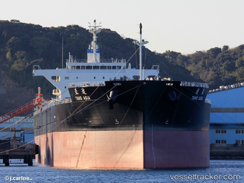
Taho Asia
Current StatusWhere is the vessel?
Taho Asia is currently in 335 nm E of Ramalde, based on AIS data received about 4h ago.
Latest AIS update:
Current position: 39.90995° S, 1.50344° W (335 nm E of Ramalde)
Average speed (last 7 days): Loading…
Average speed (last 30 days): Loading…
Vessel profile: Taho Asia is a Bulk Carrier with dimensions 36m x 228m.
This page combines live AIS, route history, probable destination signals, nearby traffic, and port activity for practical vessel monitoring.
The current position of vessel Taho Asia is -39.90995 lat / -1.50344 lng. Updated: 2026-04-05 04:32:26 UTCNearest reference points:
- Open sea, approx. 406 nm off the nearest listed port
- Open sea (no nearby ports in database)
- Open sea, approx. 405 nm off the nearest listed port
Details:
Live Vessel Taho Asia Analytics (details, animations, etc.)
Recent AIS points (UTC):
2026-04-04 23:46:32 UTC · -39.90391, -2.53743 · SOG 10.3 kn · COG 95°2026-04-05 00:30:34 UTC · -39.90619, -2.37536 · SOG 10.1 kn · COG 95°
2026-04-05 02:33:24 UTC · -39.90645, -1.93628 · SOG 10 kn · COG 93°
2026-04-05 04:32:26 UTC · -39.90995, -1.50344 · SOG 10.3 kn · COG 91°