 vesseltracker.com
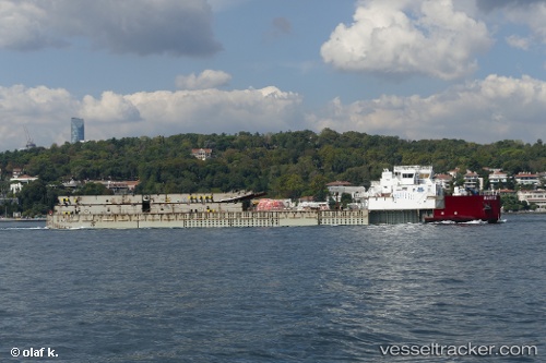
Barys
Current StatusWhere is the vessel?
Barys is currently in Near Kuryk, based on AIS data received about 1h ago.
Latest AIS update:
Current position: 43.13543° N, 51.60334° E (Near Kuryk)
Average speed (last 7 days): Loading…
Average speed (last 30 days): Loading…
Vessel profile: Barys is a Deck Cargo Ship with dimensions 21m x 113m.
This page combines live AIS, route history, probable destination signals, nearby traffic, and port activity for practical vessel monitoring.
The current position of vessel Barys is 43.13543 lat / 51.60334 lng. Updated: 2026-04-07 20:05:09 UTCNearest reference points:
- 29 nm SW of Kuryk
- 24 nm W of Kuryk
- 12 nm S of Aktau
Details:
Live Vessel Barys Analytics (details, animations, etc.)
Recent AIS points (UTC):
2026-04-07 13:25:55 UTC · 43.42382, 51.15870 · SOG 7.2 kn · COG 182°2026-04-07 16:08:26 UTC · 43.12098, 51.21217 · SOG 7.4 kn · COG 121°
2026-04-07 17:23:35 UTC · 43.10086, 51.40288 · SOG 6.8 kn · COG 92°
2026-04-07 20:05:09 UTC · 43.13543, 51.60334 · SOG 0 kn · COG 137°