 vesseltracker.com
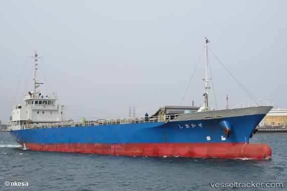
Shimakaze
Current StatusWhere is the vessel?
Shimakaze is currently in Near Naka-Ku, Kanagawa, based on AIS data received less than 1h ago.
Latest AIS update:
Current position: 35.36480° N, 139.66438° E (Near Naka-Ku, Kanagawa)
Average speed (last 7 days): Loading…
Average speed (last 30 days): Loading…
Vessel profile: Shimakaze is a General Cargo Ship with dimensions 12m x 76m.
This page combines live AIS, route history, probable destination signals, nearby traffic, and port activity for practical vessel monitoring.
The current position of vessel Shimakaze is 35.36480 lat / 139.66438 lng. Updated: 2026-04-19 13:38:44 UTCNearest reference points:
- Near Naka-Ku, Kanagawa
- Near Yokohama
- Near Yokosuka
Details:
Live Vessel Shimakaze Analytics (details, animations, etc.)
Recent AIS points (UTC):
2026-04-19 10:02:49 UTC · 35.36482, 139.66431 · SOG 0.1 kn · COG 10°2026-04-19 11:29:52 UTC · 35.36480, 139.66432 · SOG 0.1 kn · COG 15°
2026-04-19 13:08:48 UTC · 35.36478, 139.66432 · SOG 0.1 kn · COG 11°
2026-04-19 13:38:44 UTC · 35.36480, 139.66438 · SOG 0.1 kn · COG 10°